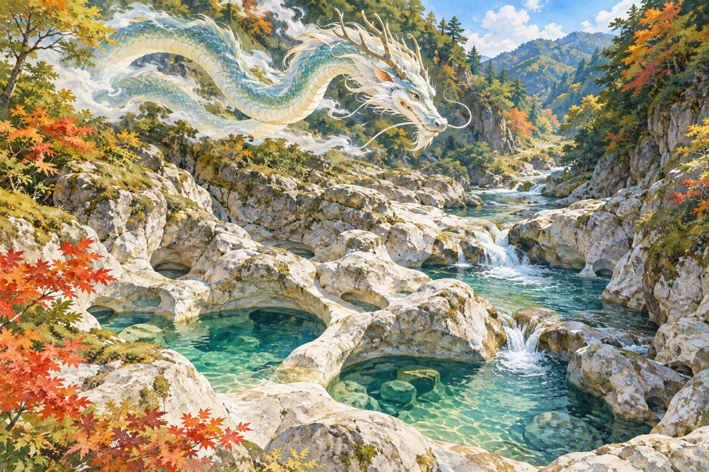
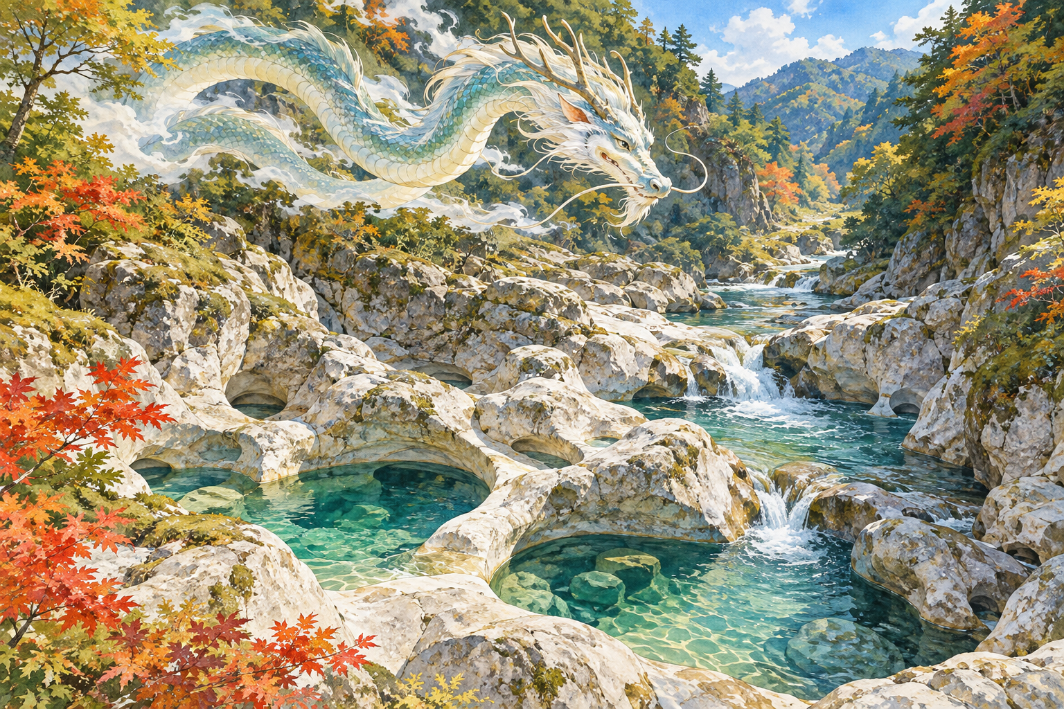
At the Yakama Pothole Group in Kumakogen Town, Ehime, the attraction is a riverbed shaped into deep, rounded hollows. The Japanese name, 八釜の甌穴群, brings together the image of cooking cauldrons and the geological term for potholes. Here, a story about a rainmaking dragon deity adds another way to consider the water. A visit can hold both interests: the physical work of a river and a local tradition about asking that river’s resident spirit for rain.
Yakama rewards a little preparation. It lies below a steep approach path, and the return requires an uphill walk. Giving the gorge an unhurried place in a day’s itinerary makes more sense than treating it as a quick roadside photograph. The route, the rock shapes, and the story are all worth understanding before setting out.
1. Reading the landscape at Yakama
A protected riverbed in Yanadani
Ehime Prefecture records Yakama as a nationally designated Special Natural Monument, designated on March 29, 1952, and managed by Kumakogen Town. Its location is Yanaigawa, on the Kurokawa, a tributary of the Niyodo River, roughly six kilometers upstream from Ochide. The surrounding river basin is known as Yanadani Canyon and forms part of Shikoku Karst Prefectural Natural Park. These details establish its place within the region’s protected landscapes. Ehime Prefecture’s cultural-property record
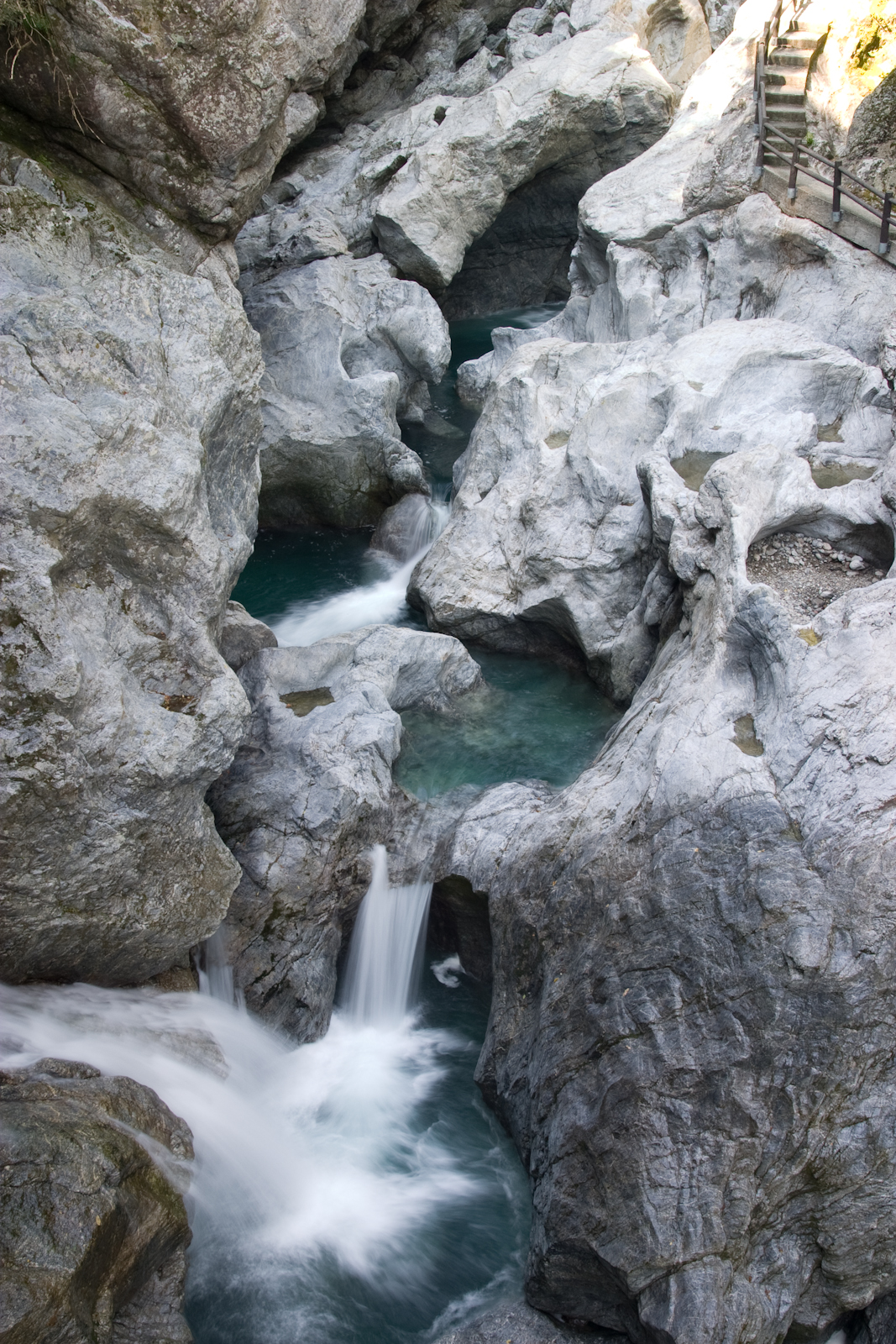
The prefecture describes more than thirty potholes in a riverbed section about 25 meters wide and 65 meters long; the largest reaches 12 meters in diameter. Whirling water has hollowed the hard chert. Five groups reflect changes in the river’s course as water levels changed. One group contains eight hollows aligned along the left bank, offered as a possible origin of the name Yakama, or “eight cauldrons.” The name therefore does not mean that there are only eight potholes altogether. Geology and the possible name origin
Looking beyond a single photograph
From a safe, permitted viewing position, first take in the arrangement of the river and rock. Then look for smaller details: the relationship between neighboring hollows, the curves of their edges, and the places where water passes between them. Thinking in this order helps turn an unusual shape into a landscape you can read. A close photograph alone can lose the sense of scale that makes the whole formation interesting.
The tourism association records names including Tunnel, Lion, and Spectacles for individual cauldrons. Such names offer another exercise in looking: a familiar object or creature becomes a way to remember an unfamiliar shape. You do not need to identify every named hollow to appreciate the site, and no photograph is worth stepping beyond a safe viewing area. Kumakogen Tourism Association’s Yakama guide
2. The dragon deity and the request for rain
The local tourism association recounts a tradition that a dragon god, or ryūjin, lived at Yakama. People are said to have prayed there for rain. If rain did not come, the story continues, they put metal objects, which the deity disliked, into the pools to provoke its anger and bring rain. This is a reported legend; the page does not establish when it originated or document a particular historical performance. The rainmaking tradition recorded by the tourism association
What the story invites us to consider
One way to read the tale is as a story about dependence and uncertainty. Its sequence begins with a request and moves toward confrontation when the desired response fails to arrive. The imagined resident of the pools has preferences, emotions, and the power to answer. That interpretation comes from the structure of the story; it should not be mistaken for evidence about the beliefs of every person who lived in the valley.
For a traveler, the legend adds questions to the view. What happens when water becomes a presence that can be addressed? How does a deep hollow in a river become a place where a community imagines an encounter? Those questions do not require a supernatural explanation of the potholes. They make room to consider how a landscape can be both a physical formation and the setting for a remembered narrative.
The two official sources have different strengths. The prefectural record is the source for the designation and geological description. The tourism association is a direct source for how the tradition is presented to visitors today, while its account of earlier rainmaking is a retelling. Neither supplies proof of a dragon deity or enough evidence to reconstruct an ancient ceremony. Keeping those distinctions clear allows the story to remain vivid without turning uncertainty into invented history.
Today, the appropriate way to engage with this tradition is to read it, discuss it, and observe the river respectfully. Do not throw metal, coins, offerings, or any other objects into the pools, and do not attempt to reenact the tale. Leaving the setting intact is part of making it available to the next visitor.
3. Planning the descent and the return
Allow time for the uphill half
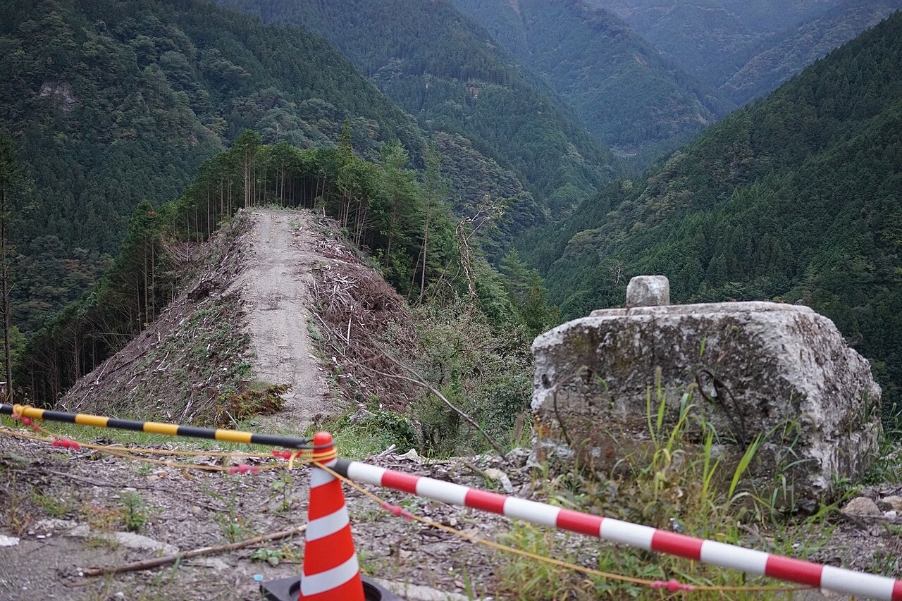
The tourism association warns that water and fallen leaves make parts of the steep path slippery. Its published walking estimates are about twenty minutes down and thirty minutes back up. It lists the location as Yanaigawa and a drive of one hour thirty-five minutes from Kumakogen Town Hall. Treat these as planning references, not promises for your own pace or travel conditions. Official access information and path warning
As practical planning advice, reserve additional time for resting, looking, and taking photographs. Decide whether everyone in your party can comfortably manage the ascent before starting down. A downhill approach can make the beginning feel easier than the return will be. If someone needs a level or step-free outing, seek specific accessibility advice from the tourism association before choosing this walk.
Wear footwear with dependable grip, carry drinking water, and keep a hand free where balance matters. Check the forecast and current local access information before departure, especially after substantial rain. Follow signs and barriers on arrival. If the route or river conditions appear unsafe, changing the day’s plan is a reasonable decision. The rainmaking legend is a subject for reflection, never a reason to seek out hazardous weather.
Choose a season, then check the day
The association highlights Yakama’s cooling atmosphere in summer and foliage in autumn. These are useful seasonal themes rather than guarantees of a particular temperature, leaf color, or water level on your visit. Seasonal description of Yakama
For photography, plan around the available safe viewpoints. A wider composition can show how the hollows fit within the riverbed; a closer frame can emphasize an edge or curve. Stop walking before looking through a camera or phone. Keeping the equipment packed during awkward sections of the path helps preserve attention for your footing. Leave enough daylight and energy for the climb back instead of using all your time at the water.
4. Giving Yakama a place in a Kumakogen journey
Kumakogen’s official overview groups Yakama with other sights in the Yanadani area, including Nakatsu Hanamomo no Sato and Izugatani. That regional grouping is useful when choosing a theme for a trip, but it does not establish walking distance or a convenient single-day circuit. Consider the following as separate driving extensions, checking the roads and time required for the route you actually intend to use. Kumakogen’s regional overview
Flowering trees, beech woodland, and open ridges
For a spring-focused journey, Nakatsu’s Hanamomo no Sato provides a different subject: ornamental peach trees. The tourism association traces the planting to a couple who began with forty trees in 2008 and gives early to mid-April as the usual viewing period. Check that year’s flowering information before building a trip around blossom. Pairing the two places would let you consider a landscape shaped by planting alongside one shaped by river action.
Izugatani is introduced through its beech forest, within a specially protected part of a nature conservation area. It offers a woodland theme for further exploration. Consult local guidance for appropriate access and routes; its listing should not be read as permission to enter any part of the forest freely.
Elsewhere in the same municipality, Okawamine offers a broader mountain setting. The official guide lists an elevation of 1,525 meters and describes connected, bamboo-grass-covered ridges, seasonal flowers, and autumn grasses. Views toward surrounding mountains depend on the weather. This can be a separate upland excursion for travelers who want to balance the enclosed river setting with more open scenery.
Choose an extension that suits your season and available time, then work backward from the drive and walking effort. A satisfying day does not require fitting every name on the regional map into one schedule. Spending longer at Yakama may offer more than a hurried sequence of distant stops, particularly when the return climb already deserves a generous margin.
For another water-related narrative after the trip, JAPAN ESSENCE’s Lake Towada legend article provides related reading. Towada is in northern Honshu, a different region from Ehime in Shikoku; it is not a nearby excursion or an additional episode of Yakama’s story. Keeping each tale connected to its own place is part of appreciating Japan’s local traditions.
Sources and further reading
Ehime Prefecture: Yakama Pothole Group — official designation, location, geology, scale, and possible name origin.
Kumakogen Tourism Association: Yakama Pothole Group — the association’s account of the legend, named hollows, seasonal descriptions, and published access guidance.
Kumakogen Tourism Association: About Kumakogen — regional orientation. Separate destination pages: Hanamomo no Sato, Izugatani, and Okawamine.
Location map: open the Yakama map linked by Ehime Prefecture. The official map points to 33.524750, 132.992833. Follow local signs for the approach path; this map is not walking-route guidance.
To explore further, visit Zenkei (禅景) for Zen-inspired onigawara art and Oni Kobo (鬼工房) for onigawara demon-tile art and charms.


Leave a comment